The first storm of the spring season was expected to move on from the Southland after Sunday, clearing the way for a cloudy but dry week before heavier rainfall returns next weekend.
National Weather Service forecasters described this weekend’s rain and snow as “a very modest system at best with regard to rainfall amounts.”
However, the weather service issued severe thunderstorm warnings Sunday afternoon for central Los Angeles County, and thunderstorms and hail were reported over Alhambra and near West Covina.
On Saturday, Lancaster Airport set a record for the date with .53 inches of rain, breaking the record of .39 inches set in 1995, according to the NWS.
“A lingering storm system will continue a cold and unsettled weather pattern into Sunday,” the NWS said. “Scattered showers with isolated thunderstorms are possible with snow levels lowering to as low as 3,500 feet. West to northwest winds will continue to strengthen through Sunday evening as a tight northerly pressure difference develops across the state.
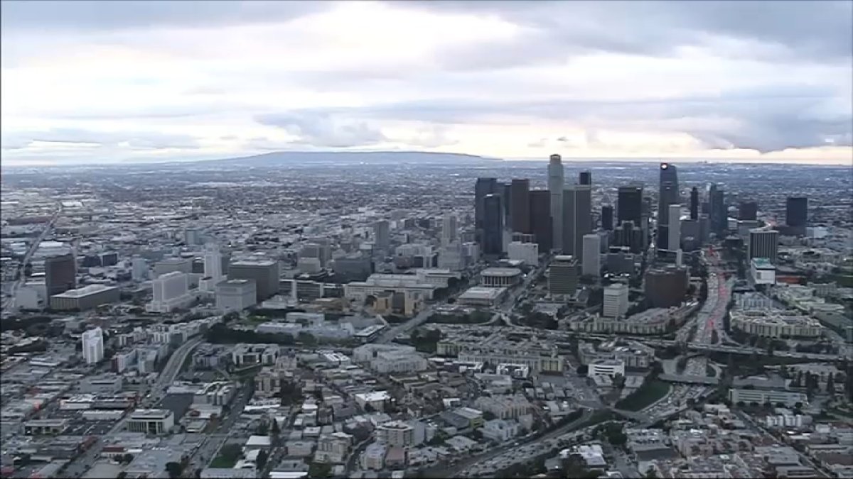
A spring storm not only dumped measurable rain in Los Angeles, but also hail and the rumble of thunder. Anastassia Olmos reports for the NBC4 News on March 24, 2024.
“Warmer and drier weather is expected for early week, than another storm system, potentially heavy rainfall, is possible for next weekend.”
The weather service said rainfall totals through Sunday night will generally be 0.25 inches or less for most areas, but the northern mountain slopes could get near 1 inch.
Wind advisories were in effect until 8 p.m. Sunday in the downtown and west Los Angeles area, and from 4 p.m. Sunday until 3 a.m. Monday in the Santa Clarita Valley, where gusts up to 40 mph were expected. The Antelope Valley was expected to see gusts of 45 mph Sunday afternoon, possibly increasing to 65 mph Sunday night.
Sunday’s highs were in the 50s and lower 60s. Overnight lows were expected to drop into the 30s in the mountains and high desert.
“The very cold air mass for this time of year is supporting snow levels already down to between 3,000 and 4,000 feet per the Vandenberg radar with snow also reported at the Sandberg (4,500 ft elevation) sensor in the northwest LA mountains with a temperature of 34 degrees,” the NWS said.
