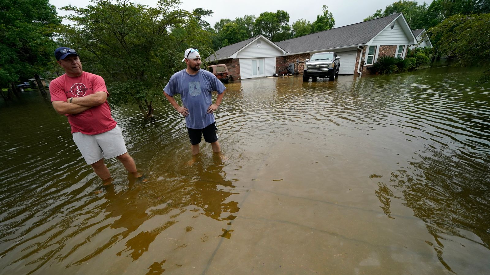
Tropical Storm Claudette has hit the southeastern US, with heavy rain lashing Louisiana, Mississippi and Alabama.
The storm headed inland on Saturday, bringing flooding and the threat of tornadoes.
Claudette was categorised as a storm in the early hours of Saturday, well after it came ashore southwest of New Orleans.
Three hours later, it was north of the city with maximum sustained winds of 45mph, travelling at 12mph.
Tornado warnings were issued for the Mississippi coast through to the western Florida panhandle – a strip of land roughly 200 miles long in the state’s northwest.
Roughly 13,000 homes and businesses had power cuts across Louisiana, Mississippi and Alabama on Saturday, according to website poweroutage.us
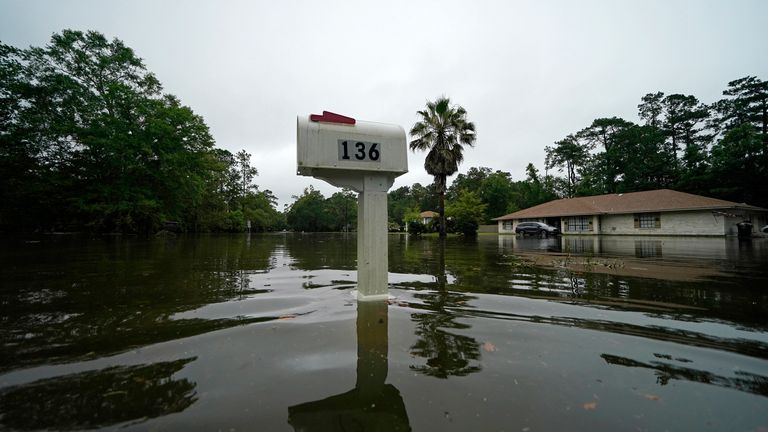
In the Louisiana city of Slidell, streets were flooded, with as many as 50 cars and trucks swamped with water.
Police said on Facebook: “A few low-lying areas are still inundated with water and cannot be reached.
“We had to rescue multiple people from their flooded cars, along with a woman who was on her way to the hospital, possibly going into labour.”
The heaviest rain was near the Alabama-Mississippi state line.
In Mobile County, Alabama, Glen Brannan of the county Emergency Management Agency said a fishing pier on Dauphin Island had been damaged but there were no reports of injuries.
“We’ve got little squalls running through,” he added.
“It will raining really really hard for a few minutes and slack up for a few minutes.
“Just a lot of water on the roads.”
Forecasters say that Claudette will weaken to a tropical depression by early Sunday as it crosses Alabama and heads for Georgia and the Carolinas.
It will move into the Atlantic from North Carolina on Monday, regaining tropical storm strength over the ocean on Tuesday.


