
Southern California could be in for a particularly wet winter, with forecasters saying Thursday a potentially powerful El Niño in the Pacific Ocean, possibly ranking as one of the strongest in the past 75 years.
According to the National Weather Services’ Climate Prediction Center, above-average surface temperatures have been recorded in the central and eastern Pacific Ocean, and conditions favoring El Niño are expected to intensify in the coming months.
“There is a 63% chance of a very strong El Niño during November-January that would rank among the largest El Niño events in the historical record going back to 1950,” forecasters said.
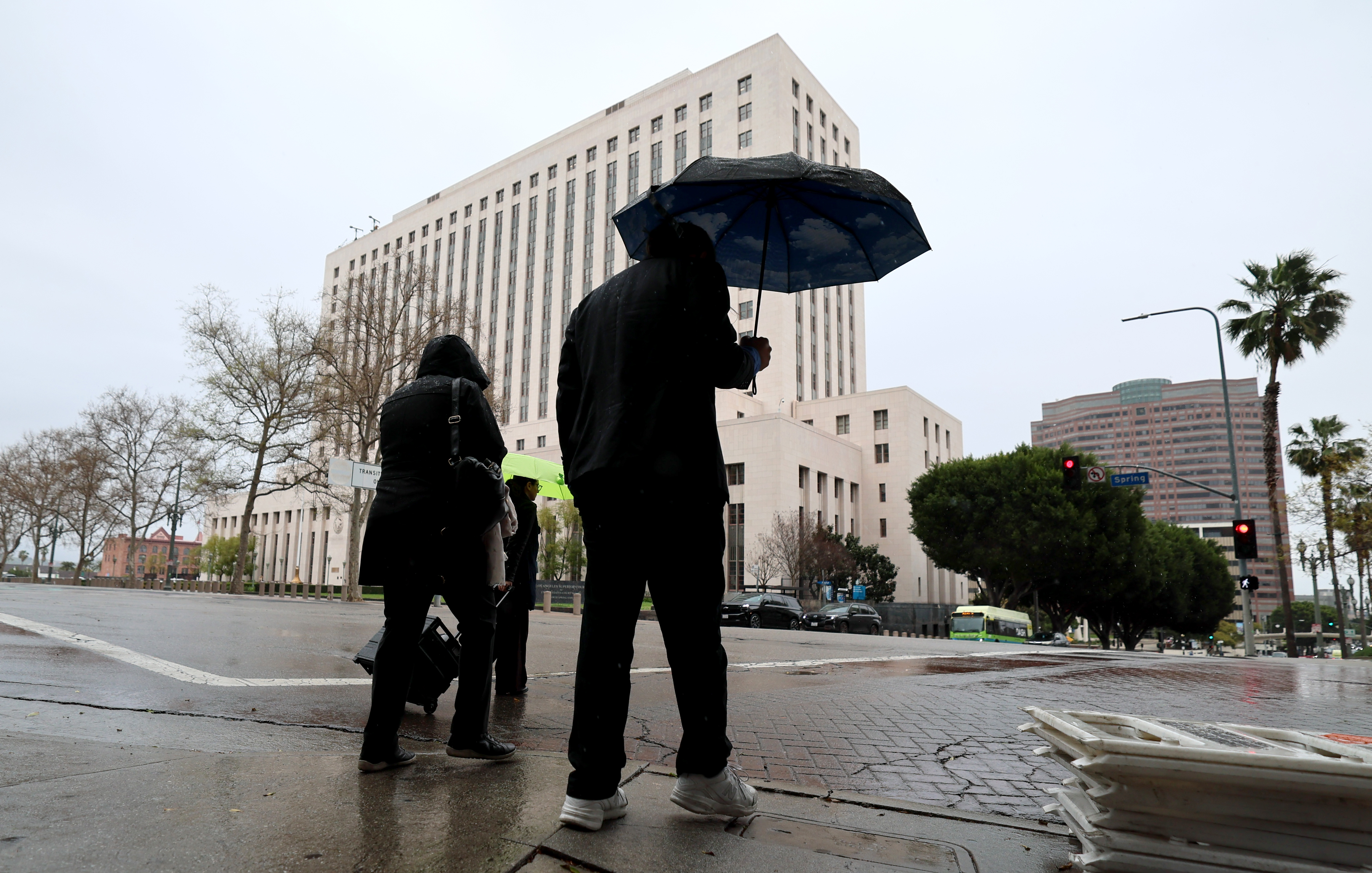
While it’s unclear exactly what that will mean for Southern California, it traditionally means dramatically increased precipitation in the region.
“Even very strong El Niño events do not lead to the expected impact everywhere, but stronger events can more significantly tilt the odds in favor of expected outcomes,” according to forecasters. “In summary, El Niño
conditions are present and expected to strengthen into the Northern Hemisphere winter 2026-27.”
Typical impacts of El Niño generally include stormier weather in the southern United States — meaning more rain and snow. It also can lead to increased risk of flooding during high tides on the West Coast. Harmful algae
blooms are also a potential effect on the West Coast.
According to the NWS, El Niño generally leads to a southern shift of the jet stream over the northern Pacific Ocean, resulting in drier conditions in areas such as the Northern Rockies and the Ohio and Tennessee valleys.
But it brings stormier conditions to the southern regions.
“Every El Niño is not the same; each one is unique with its own imprint on our weather,” Ken Graham, NWS director, said in a statement. “Advanced monitoring and an improved understanding of El Niño patterns allow
the NWS to better predict and better prepare the public and our core partners for what is to come.”