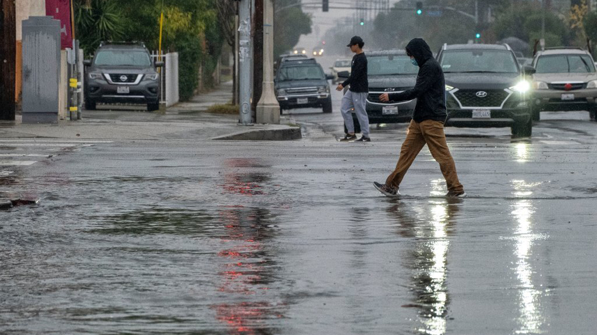
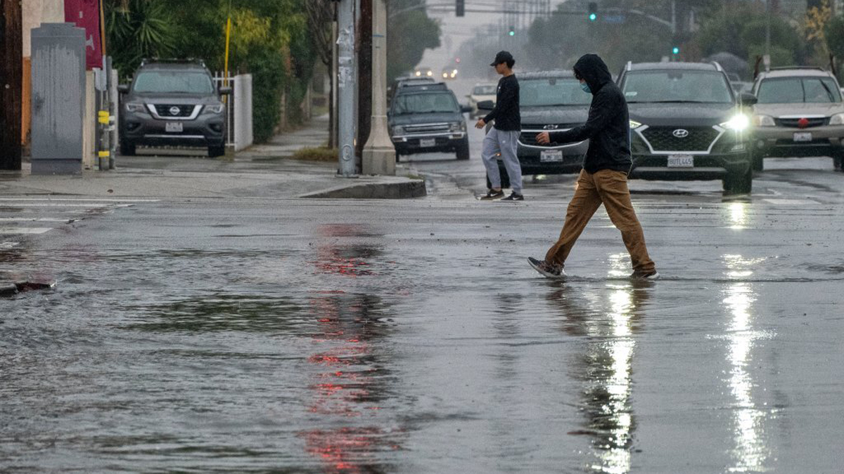
A strong October storm was moving toward Southern California today, with forecasters warning of widespread rain, possible thunderstorms and an increasing risk of localized flooding.
The National Weather Service said the approaching system could produce rainfall totals of 1 to 2 inches in some areas, with heavier downpours possible and a flood watch potentially needed.
“A pretty potent storm for October appears to be headed towards southern California Wednesday and Thursday,” according to the NWS.
The storm, which was off the Oregon coast Monday, is expected to move south along the California coast before turning inland somewhere between central and Southern California on Thursday.
Forecasters said the exact timing and rainfall amounts remain uncertain because the low-pressure system is partially separated from the stronger jet stream to the north.
“In addition, assuming the storm drops as far south as many of the (computer models) are now indicating, there is an increasing risk for scattered convective activity and locally heavy rainfall, especially Wednesday night into Thursday, which means likely a large variance in rainfall rates and totals,” according to the NWS.
Current projections call for at least a half-inch of rain over the two-day period, with most areas receiving closer to an inch and some locations getting as much as 2 inches.
Forecasters said locally higher totals cannot be ruled out if stronger showers or thunderstorms develop.
“Peak rain rates up to .75”/hr are certainly possible and a flood watch may be needed,” according to the NWS.
The latest forecast represents an increase in concern about potentially hazardous rainfall compared with earlier projections, which had suggested that heavy rain would be unlikely outside thunderstorms.
Rain could begin as early as Tuesday night, although the greatest threat of heavier showers and thunderstorms is expected Wednesday night into Thursday, forecasters said.
The storm is also expected to bring a significant drop in temperatures following several days of unusually hot weather and powerful Santa Ana winds.
Temperatures began cooling over the weekend as offshore winds weakened, and additional cooling was expected Tuesday.
The NWS said temperatures would fall below normal Tuesday for the first time in several days.
Wednesday and Thursday are expected to be cloudy and cool, with daytime highs generally in the mid-60s to lower 70s across much of Los Angeles County.
Orange County is also expected to experience cooler temperatures and periods of rain, with thunderstorms possible as the storm moves through Southern California.
The NWS said the storm is unlikely to produce snow below 8,000 feet.
Marine conditions could also deteriorate Wednesday and Thursday, with rain, thunderstorms and isolated waterspouts possible in coastal waters.
Forecasters warned that thunderstorms over the ocean could produce lightning, gusty and erratic winds, small hail and choppy seas.
A beach hazards statement remains in effect through late Thursday night for portions of the Los Angeles County coastline, according to the weather service.
Elevated surf and dangerous rip currents are expected, with minor beach erosion and tidal overflow possible in low-lying areas.
Dry and warmer weather is expected to return Friday and continue into next week.
Forecasters said offshore winds could return over the weekend, although the anticipated Santa Ana event would be considerably weaker than the one that brought strong winds and unusually hot weather to the region last week.
Temperatures could climb into the 80s in some areas over the weekend, according to the NWS.