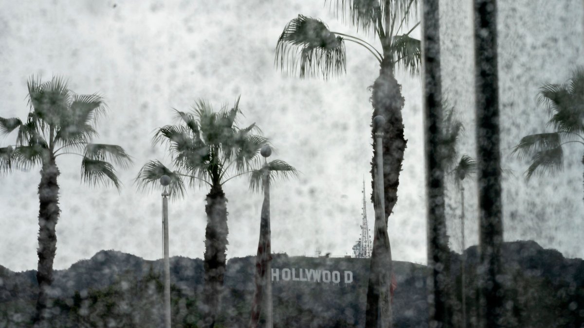
Three storm systems approaching Southern California are expected to bring two rounds of rain or showers in the coming days, with temperatures plunging into the 60s, forecasters said Thursday.
Coastal areas from Ventura to Long Beach will be under beach hazard statements, as the National Weather Service warned beachgoers of potentially life-threatening conditions.
Thursday and Friday
The first weather system will likely arrive late Thursday or early Friday, NBC Los Angeles meteorologist Belen De Leon said.
“Maybe you want to turn off the sprinklers because by Friday morning, when you wake up, we’re going to have some wet weather, and allow extra time to get to your destination,” De Leon said.
The first system is not expected to bring much precipitation, but conditions will change late Friday when the second system moves in, according to NBCLA meteorologist David Biggar.
“It’s all going to be very scattered in nature. We’re expecting kind of light, maybe at times moderate showers. Some spots may stay relatively dry across the region,” Biggar said, adding that up to half an inch of rain is expected.
A High Surf Advisory will take effect at 2 p.m. Friday and remain in effect until 3 p.m. Tuesday. Breaking waves of 4 to 7 feet are expected Friday, increasing to 7 to 12 feet Saturday before declining to 6 to 9 feet Sunday through Tuesday.
Saturday and Sunday
The second system will move into the region late Friday, bringing chances of showers through Saturday morning.
But the region will likely stay dry for much of Saturday and Sunday despite some moisture remaining in the area.
When the first round of rain moves out by early Saturday morning, most of Southern California will see a dry day Sunday.
What Southern Californians will likely notice is a drop in temperatures. Temperatures over the weekend are expected to reach the 60s to low 70s, with gusty southwest to northwest winds possible.
“Friday is the last day in the 80s for the 7-Day Forecast,” Biggar said.
Forecasters said the largest surf will affect west- to northwest-facing beaches and is expected to peak Saturday. Significant beach erosion and shallow flooding of low-lying beach walkways, parking lots and roads are possible near high tide, particularly Saturday morning.
Next Monday, Tuesday and beyond
The third storm system will affect the region Monday and Tuesday, with chances of rainfall throughout the day.
Temperatures will also likely plunge further, especially in mountain areas, where lows could dip into the mid-20s next week.
Dangerous conditions along the coast will likely persist. Large surf also could create dangerous rip currents, strong longshore currents, sneaker waves and large shore breaks. Beachgoers were urged to stay out of the water or remain near occupied lifeguard towers and avoid rock jetties.